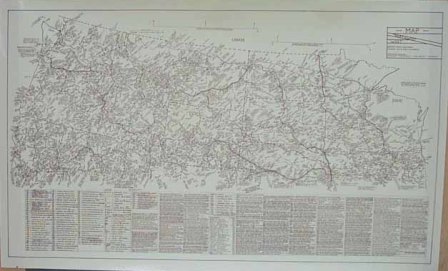
Poster: Northwest/West Historical Map (Large)

Description
This map covers the entire states of Washington, Oregon, Idaho, Montana, Wyoming, North Dakota, South Dakota, Minnesota, Iowa, and Wisconsin; and includes the Northern parts of Illinois, Nebraska, Colorado, Utah, Nevada, and California. It covers the time period of 1800 and later. The map includes names and locations of emigrant/overland trails, cattle trails, stage lines, railroads, military forts (years of operation), mines and mining areas, towns, roads, telegraph lines, and home and hunting areas (pre-reservation period) of Native Americans. The map also contains numerous historical facts and figures, and loads of Western historical information. Really an interesting “all inclusive†map. Originally hand-drawn by Perry VanArsdale in the late 1960s. Printed on medium-weight ivory paper. Comes rolled in plastic sleeve. 45 x 27.5â€Â
Product rating
Customer Reviews
There have been no reviews for this product.
Add your review here


