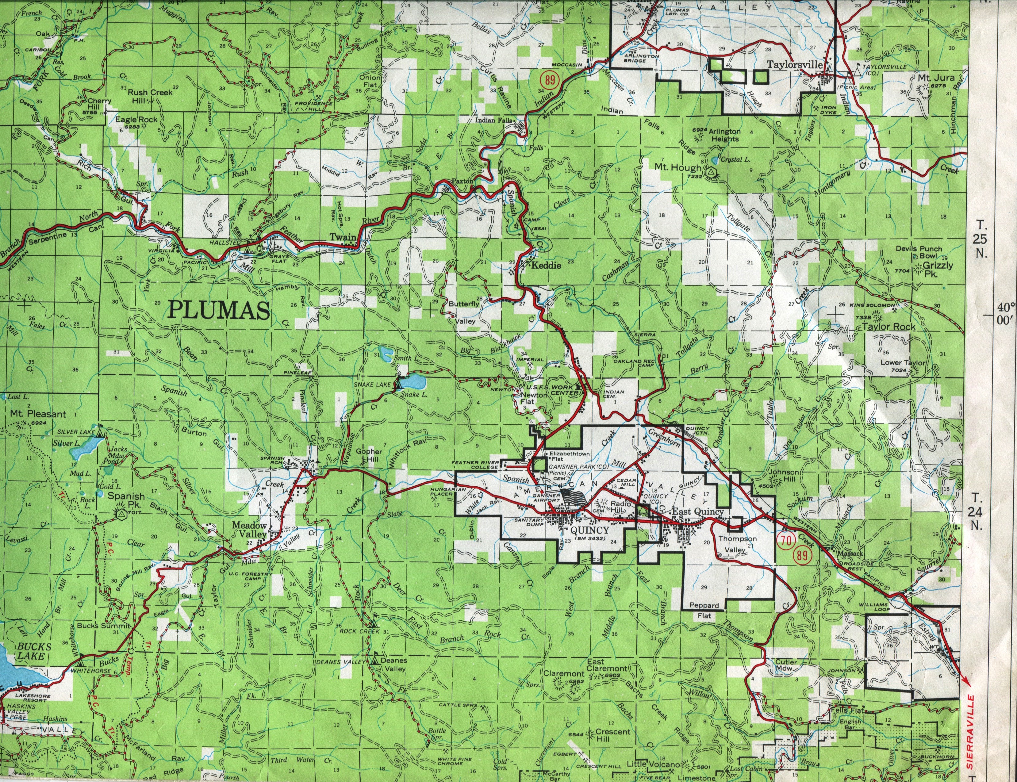
Plumas National Forest Map 1971

Description
These maps are flat folded and double sided. They are official U.S. Dept of Agriculture, Forest Service "Forest Visitors Map, Plumas National Forest California" maps. Dated 1971. Scale: 1/2" = 1 mile. Shows roadS, landmarks, forest areas, dirt roads, mountains, trails, highways, etc. Not a topographical map. These maps are sold as is and may have slight tears or bent corners. MAPS MAY HAVE A FEW PEN OR PENCIL MARKS, NOTATIONS, OR JOTTINGS ON THEM - usually quite minimal. Map unfolds to 26" x 35.5".


