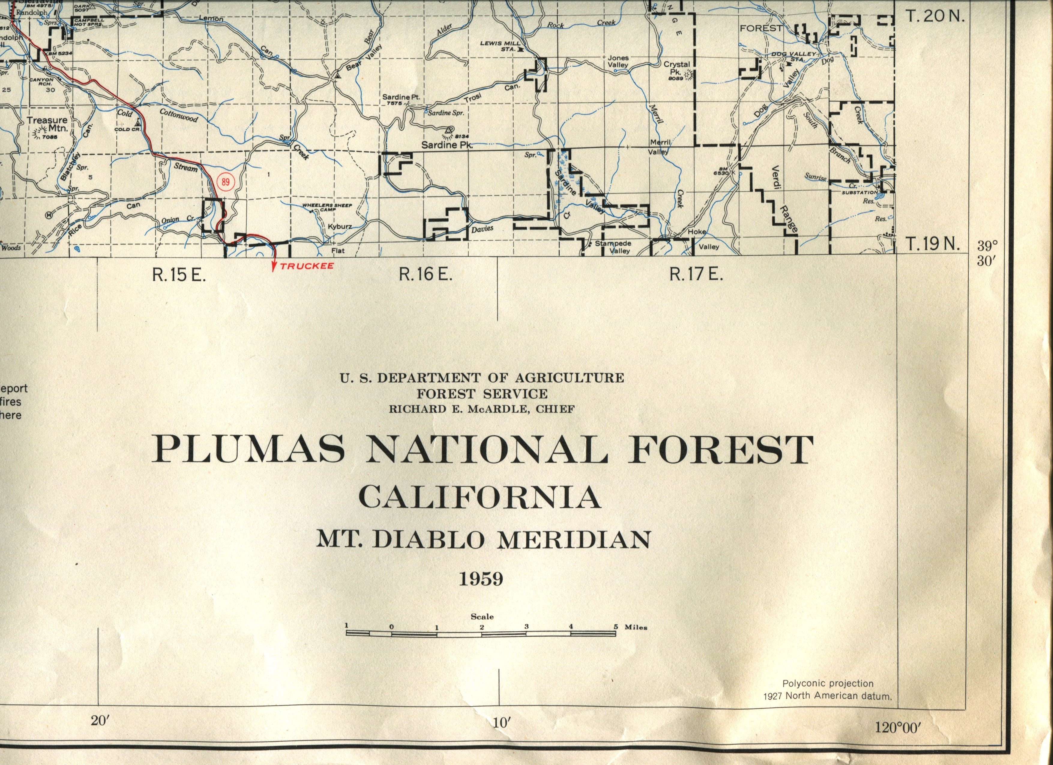
Plumas National Forest Map 1959

Description
These maps are flat folded and single sided. They are official U.S. Dept. of Agriculture, Forest Service "Plumas National Forest, California, Mt. Diablo Meridian" maps. Dated 1959. Scale: 1/2" = 1 mile. Shows roads, landmarks, dirt roads, trails, highways, etc. Areas of U.S. Forest land are NOT distinguished with different colors like current map. These maps are sold "as is" and may have slight tears or bent corners. Most of 1959 maps are free from pencil markings, etc. and are like new (with a some wear and tear to edges). Overall Size: 45.75" x 36.5" These maps are actually rolled, but will be mailed flat folded. If you want a rolled copy, you must pick it up at the Museum as we will not be mailing any rolled copies.


